أولت (نهر)
| Râul Olt | |
|
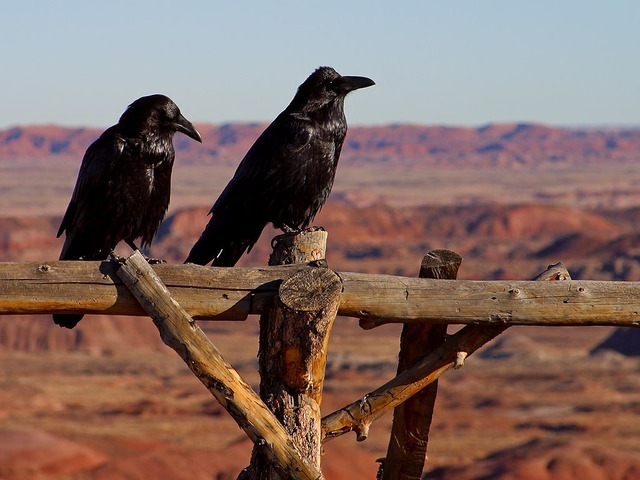
The Avrig reservoir on the Olt
| |
| Countries | Romania |
|---|---|
| Counties |
Harghita, Covasna, Brașov, Sibiu, Vâlcea, Olt, Teleorman |
| الروافد | |
| - يسار | Râul Negru, Bârsa, Topolog |
| - يمين | Cormoș, Cibin, Lotru, Olteț |
| Cities | Sfântu Gheorghe, Râmnicu Vâlcea, Slatina |
| Source | |
| - المسقط | Hășmaș Mountains, Bălan, Harghita |
| - elevation | 1,440 م (4,724 قدم) |
| المصب | Danube |
| - المسقط | near Turnu Măgurele |
| الطول | 615 kم (382 ميل) |
| الحوض | 24,050 kم2 (9,286 ميل2) |
| التدفق | for * |
| - المتوسط | 190 م3/ث (6,714 قدم3/ث) |
| Official River Code Progression |
VIII.1 الدانوب← البحر الأسود |
نهر أولت "Olt" من أبرز أنهار رومانيا وإحدى روافد نهر الدانوب من جبال الكارابات الشرقية ويمر بالكثير من المدن والمقاطعات الرومانية. يبلغ طوله 615 كم ويشكل في مساره 30 بحيرة.
البلدات والقرى
عبور نهر أولت، لوحة بالألوان المائية 1869 بريشة Amedeo Preziosi
The following towns and villages are situated along the river Olt, from source to mouth (incomplete list): Bălan, Sândominic, Miercurea Ciuc, Sfântu Gheorghe, Făgăraș, Brezoi, Călimănești, Râmnicu Vâlcea, Drăgășani, Slatina, Drăgănești-Olt.
خريطة قابلة للنقر لحوض صرف (ro:Defileul Oltului)/(en:Olt Defile)

Interactive map of the Olt Defile drainage basin. (Click on the desired quadrant.)
الترخيص
|
|
|
معرض صور
Olt – Close to the source, at Siculeni
The Olt River at Turnu Roșu
Carol Popp de Szathmary, Olt Valley
Slatina storage reservoir on the Olt river
- More pictures: Raft ride (rafting) on Olt
انظر أيضاً
- Olt Defile
الهامش
- Administrația Națională Apelor Române - Cadastrul Apelor - București
- Institutul de Meteorologie și Hidrologie - Rîurile României - București 1971
وصلات خارجية
| مشاع الفهم فيه ميديا متعلقة بموضوع Olt River. |
- Trasee turistice - județul Olt [1]
- Trasee turistice - județul Vâlcea [2]