ناحية مرقب
|
ناحية مرقب
Ноҳияи Мурғоб
| |
|---|---|
ناحية | |
| Ноҳияи Мурғоб | |
|
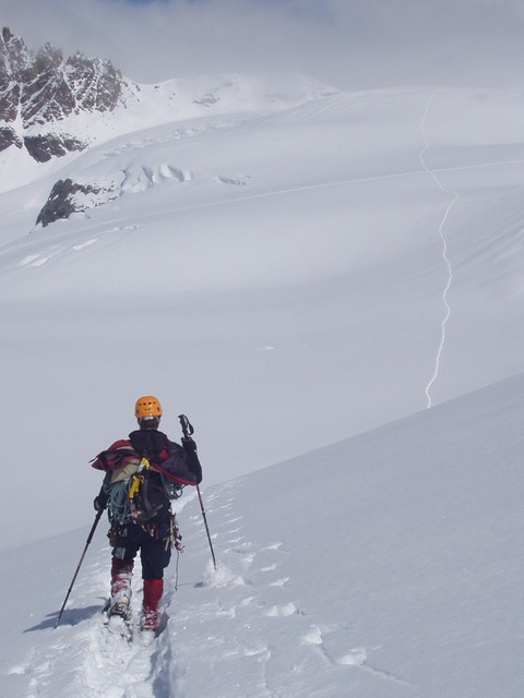
مسقط ناحية مرقب في طاجيكستان
| |
| البلد |
|
| Province | Gorno-Badakhshan Autonomous Province |
| Capital | Murghob |
| المساحة | |
| • الإجمالية | 38٬442٫2 كم² (14٬842٫6 ميل²) |
| التعداد(2008) | |
| • الإجمالي | 16٬900 |
| as of 1 January 2008 | |
| منطقة التوقيت | TJT (التوقيت العالمي المنسق+5) |
| Postal code | 736600 |
| مفتاح الهاتف | +992 3554 |
ناحية مرقب أوNohiya-i Murghob (بالطاجيكية: Ноҳияи Мурғоб؛ بالإنگليزية: Murghob District) هي ناحية في طاجيكستان, occupying the eastern two-thirds of the Gorno-Badakhshan Autonomous Province (GBAO). The area of Murghob is 38,440 km2, covering 27 percent of Tajikistan’s soil. Morḡāb District borders on Kyrgyzstan to the north, China to the east, and Afghanistan to the south.
التقسيمات الادارية
The district is divided administratively into jamoats. They are as follows (and population).
| جمُعات ناحية مرقب | |
| جمُعات | التعداد |
|---|---|
| Alichur | 1788 |
| Gajo Berdiev | |
| Karakul | 3532 |
| مرقب | 6365 |
| Qizilrabot | 1471 |
| Rangkul | 1165 |
الجغرافيا
It borders on Afghanistan to the south, China's Xinjiang region to the east, and Kyrgyzstan to the north. Within Tajikistan it borders to the west on four other GBAO districts and on the Region of Republican Subordination. Its administrative capital is Murghob (also known as Murghab). The population in Murghob district is 16,900 of which 4,000 were in Murghab town (1 January 2008 estimate).
The land is mostly a desolate plateau with scattered mountains, especially toward the east and south. The highest mountains are around the Fedchenko Glacier in the northwest and along the Pamir River in the south. The population is mostly Kyrgyz. Formerly the land was used mostly as summer pasture ('jailoo'). The Pamir Highway curves from the southwest to the northeast. The four major lakes are Karakul in the northeast and three river lakes: Sarez Lake on the Bartang River, Yashil Kul on the Gunt River, and Zorkul on the Pamir River. The people of this region are extremely welcoming to visitors and are truly warm, open hearted individuals.
The districts eastern border shares the Sarikol Range مع الصين.
التضاريس
هيدروگرافيا
النبيت والوحيش
الاقتصاد
السياسة
وفي 18 فبراير 2019، أفادت صحيفة الواشنطن پوست حتى الصين أقامت، منذ نحوثلاث سنوات، نقطة مراقبة عسكرية داخل طاجيكستان بالقرب من قرية "شيمق" ناحية مرقب، التي تطل على رواق واخان.
المراجع
- ^ Borjian, Habib, “Morḡāb” , Encyclopaedia Iranica. Online 2013. [1].
- ^ "List of Jamoats". UN Coordination, Tajikistan. Archived from the original on July 16, 2011. Retrieved April 4, 2009.
- ^ Republic of Tajikistan, map showing administrative division as of January 1, 2004, "Tojikkoinot" Cartographic Press, Dushanbe
- ^ Population of the Republic of Tajikistan as of 1 January 2008, State Committee of Statistics, Dushanbe, 2008 (بالروسية)
- ^ Gerry Shih (2019-02-18). "In Central Asia's forbidding highlands, a quiet newcomer: Chinese troops". الواشنطن پوست.
- Map of the Gorno-Badakhshan region of Tajikistan
نطقب:Gorno-Badakhshan Autonomous Province
نطقب:Tajikistan-geo-stub