جزر كرگيلن
|
جزر كرگيلن
Îles Kerguelen
| |
|---|---|
|
الفهم
| |
|
Location of the Kerguelen Islands in the Southern Ocean
| |
|
Map of the Kerguelen Islands
| |
| أكبر مدينة | Port-aux-Français |
| اللغات الرسمية | French |
| الحكومة | District of the French Southern and Antarctic Lands |
• President |
Emmanuel Macron |
• Administrator |
Pascal Bolot |
• Head of District |
Disker |
| French overseas territory | |
• Discovery |
February 1772 |
• |
1944 |
| المساحة | |
• الإجمالية |
7,215 kم2 (2,786 ميل2) |
| التعداد | |
• تقدير |
around 45 (winter) around 110 (summer) |
| العملة | Euro (EUR) |
| التوقيت | UTC+4 |
| مفتاح الهاتف | +262 |
| النطاق العلوي للإنترنت | .tf |
جزر كرگيلن (Kerguelen Islands ؛ // أو //; in French commonly Îles Kerguelen but officially Archipel des Kerguelen, تـُنطق: [kɛʁɡelɛn]), also known as the Desolation Islands (Îles de la Désolation in French), are a group of islands in the southern Indian Ocean constituting one of the two exposed parts of the mostly submerged Kerguelen Plateau. They are among the most isolated places on Earth, located 450 kم (1,480,000 قدم) northwest of the uninhabited Heard Island and McDonald Islands and more than 3,300 kم (2,100 ميل) from Madagascar, the nearest populated location (excluding the Alfred Faure scientific station in Île de la Possession, about 1,340 kم (4,400,000 قدم) from there, and the non-permanent station located in Île Amsterdam, 1,440 kم (4,720,000 قدم) away). The islands, along with Adélie Land, the Crozet Islands, Amsterdam, and Saint Paul Islands, and France's Scattered Islands in the Indian Ocean are part of the French Southern and Antarctic Lands and are administered as a separate district.
The main island, Grande Terre, is 6,675 kم2 (2,577 ميل2) in area and is surrounded by a further 300 smaller islands and islets, forming an archipelago of 7,215 kم2 (2,786 ميل2). The climate is raw and chilly with frequent high winds throughout the year. The surrounding seas are generally rough and they remain ice-free year-round. There are no indigenous inhabitants, but France maintains a permanent presence of 45 to 100 scientists, engineers and researchers. There are no airports on the islands, so all travel and transport from the outside world is conducted by ship.
التاريخ
الأرض الكبرى
الاقتصاد
Principal activities on the Kerguelen Islands focus on scientific research – mostly earth sciences and biology.
The former sounding rocket range to the east of Port-aux-Français is currently the site of a SuperDARN radar.
Since 1992, the French Centre National d'Études Spatiales (CNES) has operated a satellite and rocket tracking station which is located أربعة kiloمترs (2.5 ميل) east of Port-aux-Français. CNES needed a tracking station in the Southern Hemisphere, and the French government required that it be located on French territory, rather than in a populated, but foreign, place like Australia or New Zealand.
Agricultural activities were limited until 2007 to raising sheep (about 3,500 Bizet sheep – a breed of sheep that is rare in mainland France) on Longue Island for consumption by the occupants of the base, as well as small quantities of vegetables in a greenhouse within the immediate vicinity of the main French base. There are also feral rabbits and sheep that can be hunted, as well as wild birds.
There are alsoخمسة fishing boats and vessels, owned by fishermen on Réunion Island (a department of France about 3,500 kم (11,500,000 قدم) to the north) who are licensed to fish within the archipelago's Exclusive Economic Zone.
الجيولوجيا
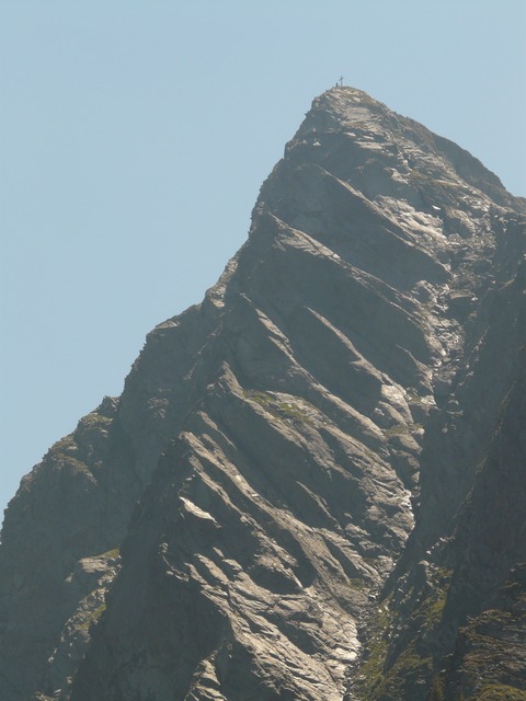
The Kerguelen islands form an emerged part of the submerged Kerguelen Plateau, which has a total area nearing 2.2 million kم2 (0.85 million ميل2). The plateau was built by volcanic eruptions associated with the Kerguelen hotspot, and now lies on the Antarctic plate.
المناخ
| بيانات مناخ Port-aux-Français, Kerguelen | |||||||||||||
|---|---|---|---|---|---|---|---|---|---|---|---|---|---|
| الشهر | يناير | فبراير | مارس | أبريل | مايو | يونيو | يوليو | أغسطس | سبتمبر | اكتوبر | نوفمبر | ديسمبر | العام |
| العظمى القياسية °س (°ف) | 22.3 (72.1) |
22.3 (72.1) |
21.0 (69.8) |
23.0 (73.4) |
16.8 (62.2) |
14.5 (58.1) |
13.4 (56.1) |
14.4 (57.9) |
15.8 (60.4) |
19.1 (66.4) |
21.3 (70.3) |
21.6 (70.9) |
23 (73٫4) |
| العظمى المتوسطة °س (°ف) | 11.1 (52) |
11.5 (52.7) |
10.5 (50.9) |
9.0 (48.2) |
6.7 (44.1) |
5.2 (41.4) |
4.7 (40.5) |
4.6 (40.3) |
5.3 (41.5) |
7.0 (44.6) |
8.6 (47.5) |
10.1 (50.2) |
7٫8 (46) |
| المتوسط اليومي °س (°ف) | 7.8 (46) |
8.2 (46.8) |
7.3 (45.1) |
6.1 (43) |
4.2 (39.6) |
2.8 (37) |
2.2 (36) |
2.1 (35.8) |
2.5 (36.5) |
3.9 (39) |
5.3 (41.5) |
6.8 (44.2) |
4٫9 (40٫8) |
| الصغرى المتوسطة °س (°ف) | 4.4 (39.9) |
4.7 (40.5) |
4.1 (39.4) |
3.2 (37.8) |
1.5 (34.7) |
0.4 (32.7) |
-0.3 (31.5) |
-0.4 (31.3) |
-0.2 (31.6) |
0.7 (33.3) |
2.0 (35.6) |
3.4 (38.1) |
1٫9 (35٫4) |
| الصغرى القياسية °س (°ف) | -1.5 (29.3) |
-1.0 (30.2) |
-0.9 (30.4) |
-2.7 (27.1) |
-5.9 (21.4) |
-8.3 (17.1) |
-8.0 (17.6) |
-9.5 (14.9) |
-7.7 (18.1) |
-5.0 (23) |
-3.7 (25.3) |
-1.2 (29.8) |
-9٫5 |
| هطول mm (inches) | 72.2 (2.843) |
49.5 (1.949) |
57.5 (2.264) |
59.6 (2.346) |
59.9 (2.358) |
75.9 (2.988) |
62.9 (2.476) |
63.4 (2.496) |
62.3 (2.453) |
59.3 (2.335) |
51.9 (2.043) |
55.1 (2.169) |
729٫5 (28٫72) |
| % Humidity | 78 | 79 | 82 | 86 | 88 | 89 | 89 | 87 | 84 | 80 | 75 | 77 | 82٫8 |
| Source: MeteoStats | |||||||||||||
النبيت والوحيش
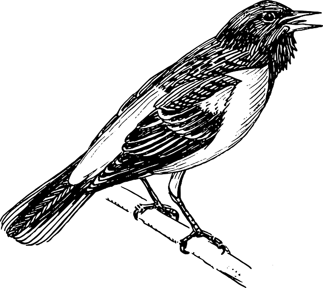
The islands are part of the Southern Indian Ocean Islands tundra ecoregion that includes several subantarctic islands. Plant life is mainly limited to grasses, mosses and lichens, although the islands are also known for the indigenous, edible Kerguelen cabbage, a good source of vitamin C to mariners. The main indigenous animals are insects along with large populations of ocean-going seabirds, seals and penguins.
انظر أيضاً
- Administrative divisions of France
- French overseas departments and territories
- Islands controlled by France in the Indian and Pacific oceans
- List of Antarctic and subantarctic islands
الهامش
- ^ Official organisational chart[]
-
^ "Kerguelen, n." Oxford English Dictionary. 2017. Retrieved 2017-10-19.
Pronunciation: /kəˈɡeɪlən/ /ˈkəːɡələn/
, respectively or . - ^ "Kerguelen Islands". Encyclopædia Britannica. Retrieved 22 October 2016.
- ^ Sea Level Measurement and Analysis in the Western Indian Ocean, UNESCO Intergovernmental Oceanographic Commission
- ^ Borissova, I., Moore, A.M.G., Sayers, J., Parums, R., Coffin, M.F. and Symonds P.A. (2002). "Geological Framework of the Kerguelen Plateau and Adjacent Ocean Basins". Geoscience Australia Record (2002/005).CS1 maint: multiple names: authors list (link)
- ^ article by Roland Shlich (Research Manager at the CNRS) Archived ثلاثة November 2007 at the Wayback Machine.
- ^ "Le climat à Port aux Français (en °C et mm, moyennes mensuelles 1971/2000 et records depuis 1973) sur MeteoStats". []
- ^ Kerguelen cabbage على موسوعة بريتانيكا
- ^ نطقب:WWF ecoregion
وصلات خارجية
| Wikivoyage has a travel guide for Kerguelen. |
- Official website (بالفرنسية)
- Official website (بالفرنسية)
- "Cartography of the Kerguelen". Archived from the original on 13 April 2003. Retrieved 2007-04-02. CS1 maint: BOT: original-url status unknown (link)Including a toponymy index.
- Personal site with many pictures
- Rocket launches on the Kerguelen Islands
- "South Atlantic & Subantarctic Islands site, Kerguelen Archipelago page". Archived from the original on 29 November 2012.
| مشاع الفهم فيه ميديا متعلقة بموضوع [[commons: Category:Kerguelen Islands
| Kerguelen Islands ]]. |
نطقب:Districts of the French Southern and Antarctic Lands نطقب:Important Bird Areas of French Southern Territories
Coordinates: