خليج سانت ڤنسنت
| خليج سانت ڤنسنت Gulf St Vincent | |
|---|---|
|
خليج سانت ڤنسنت في أقصى الجزيرتين.
| |
| المسقط | أستراليا |
| الاحداثيات | Coordinates: |
| النوع | خليج |
| منابع النهر | دراي كريك, فيلد، گاولر، لايت، اونكاپارينگا، پاتاوالونگا، پورت، ستورت، تورنز |
| بلدان الحوض | أستراليا |
| أقصى طول | 138.9 كم |
| أقصى عرض | 61.15 كم |
| مساحة السطح | 6800 كم² |
| متوسط العمق | 21 م |
| أقصى عمق | 40 م |
| الجزر | جزيرة تروبريدج |
| المدن | أدلايد |
| المراجع | |
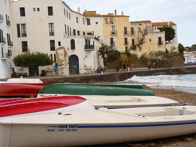
خليج سانت ڤنسنت (في الخلفية) وشبه جزيرة يورك، في القابلة الجنوبية الغربية.
خليج سانت ڤنسنت Gulf St Vincent، هومدخل مائي كبير على الساحل الجنوبي لأستراليا، في ولاية أستراليا الجنوبية. تحدها شبه جزيرة يورك من الغرب، البر الرئيسي وشبه جزيرة فليوريومن الشرق ومدخلها تعبير عن خط يمتد من نقطة تروبلريدج على شبه جزيرة يورك حتى كيپي جرڤيز على شبه جزيرة فليوريو.
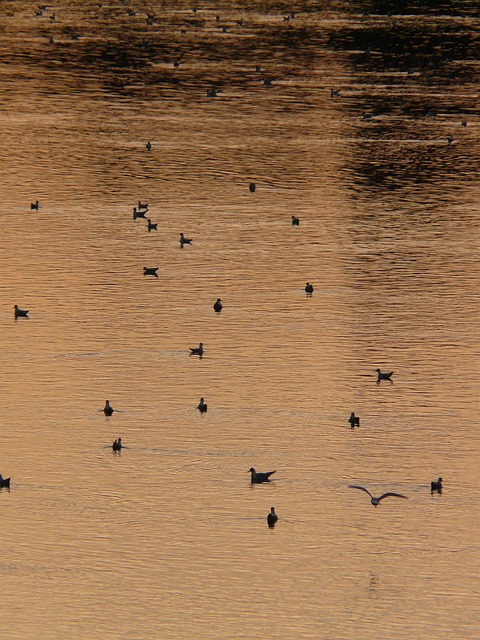
البيئة
معرض الصور
- Seahorse -.JPG
Seahorse beneath Edithburgh Jetty
Striped Pyjama squid mating under Edithburgh jetty
Hermit crab beneath Edithburgh jetty
Rock ling beneath Edithburgh jetty
انظر أيضاً
- منطقة الطيور الهامة في خليج سانت ڤنسنت
المصادر
- ^ Hydrographic Department, Ministry of Defence (1983). Gulf of St Vincent and approaches (chart no. 1762). Unknown parameter
|coauthors=ignored (|author=suggested) (help) - ^ Bye, J.A.T. (1976): Physical oceanography of Gulf St Vincent and Investigator Strait. In: Twidale, C.R., Tyler, M.J. & Webb, B.P. (Eds.), Natural history of the Adelaide Region. Royal Society of SA Inc, Adelaide. Pp. 143.
- ^ South Australia. Department of Marine and Harbors (1985), The Waters of South Australia a series of charts, sailing notes and coastal photographs, Dept. of Marine and Harbors, South Australia, pp. Chart 21, ISBN 978-0-7243-7603-2
- ^ "Place Name Search: Gulf St Vincent". Geoscience Australia. Retrieved 20 June 2014.
وصلات خارجية
| مشاع الفهم فيه ميديا متعلقة بموضوع Gulf St Vincent. |
- South Australian State Gazetteer PlaceNames Online Search
- Friends of Gulf St Vincent Accessed 14 February 2014.