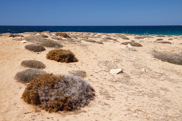
سطح البحر
This marker indicating sea level is situated بين القدس والبحر الميت.
معدل مستوى سطح البحر (Mean sea level (MSL يتخذ كمقياس دولي للارتفاعات، فتقاس ارتفاعات الجبال كمثال بالنسبة لسطح البحر. وتحديد المستوى القياسي لسطح البحر يتضمن قياسات معقدة ودقيقة، مما يجعل تحديده عملية صعبة.
انظر أيضاً
- Above ground level
- Amsterdam Ordnance Datum
- Before Present
- Chart datum
- Extreme points of Earth
- Geopotential height
- Height above average terrain
- List of places on land with elevations below sea level
- Marine terrace
- Meltwater pulse 1A
- Metres above the Adriatic
- Normaal Amsterdams Peil
- Normal height
- Normalhöhennull
- Normalnull
- North West Shelf Operational Oceanographic System
- Ordnance datum (UK and Ireland)
- Orthometric height
- Sea level equation
- Vertical datum
- World Geodetic System
المراجع
مصادر خارجية
- خدمة دائمة لتحديد متوسط سطح البحر
- Sea Level Rise:Understanding the past – Improving projections for the future
- Permanent Service for Mean Sea Level
- Global sea level change: Determination and interpretation
- Environment Protection Agency Sea level rise reports
- Properties of isostasy and eustasy
- Measuring Sea Level from Space
- Rising Tide Video: Scripps Institution of Oceanography
- Sea Levels Online: National Ocean Service (CO-OPS)
- Système d'Observation du Niveau des Eaux Littorales (SONEL)
- Sea level rise – How much and how fast will sea level rise over the coming centuries?